← All work SYS-09

Harwick Route

Interactive Paving Season Map & Field GIS Engine

Deployed: canadaornaw.github.io/harwick-route Stack: zero-dep SVG + Leaflet / canvas Coverage: Kawartha Lakes & Durham
Operational problem

Paving operations cover hundreds of square miles across rural Ontario townships. Prospective commercial clients and municipalities need proof of physical presence, equipment mobilization history, and real job footprints—not generic stock photos.

Engineered system

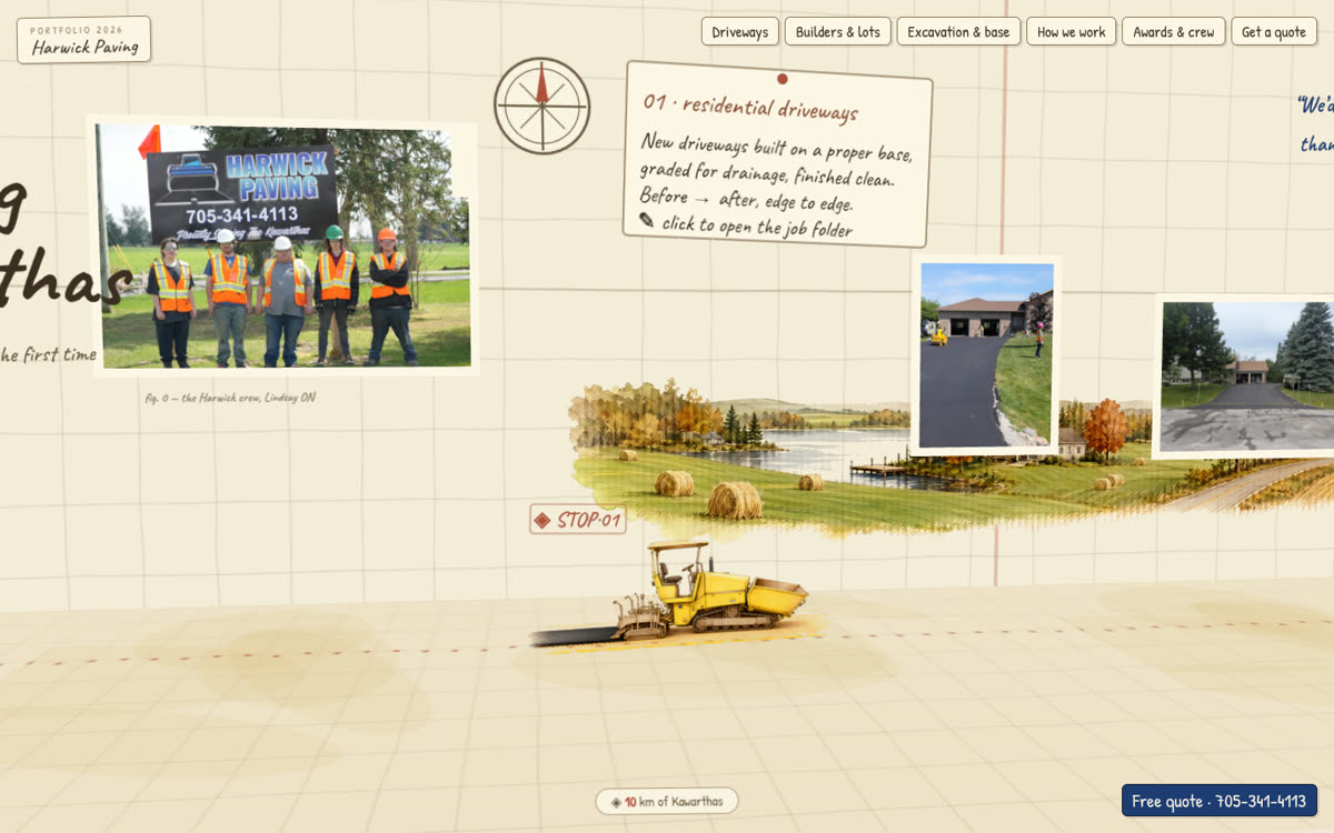
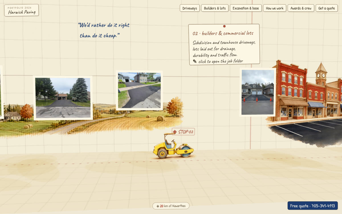
Hand-painted, vector-accurate interactive route map documenting Harwick Paving's entire 2026 paving season across Kawartha Lakes and Durham Region. Built with custom SVG coordinate projections, responsive mobile touch controls, township boundary overlays, and live project detail cards featuring compaction logs, tonnages, and photographic field evidence.

Territory
Kawartha Lakes · Durham Region · Brock · Scugog · Victoria County
Job classes
Commercial plazas, agricultural barn runways, municipal road approaches, residential driveways
Layer stack
Hand-painted vector base, coordinate-projected job pins, project detail modals, equipment tracking
Field verification
Compaction test results, asphalt mix tonnages, before/after photographic evidence
Field integration
Synchronized with weekly job receipts & coords
Status
Live production deployment on GitHub Pages (HTTPS)
Harwick Route: job pins across the township map
Harwick Route: project detail view